
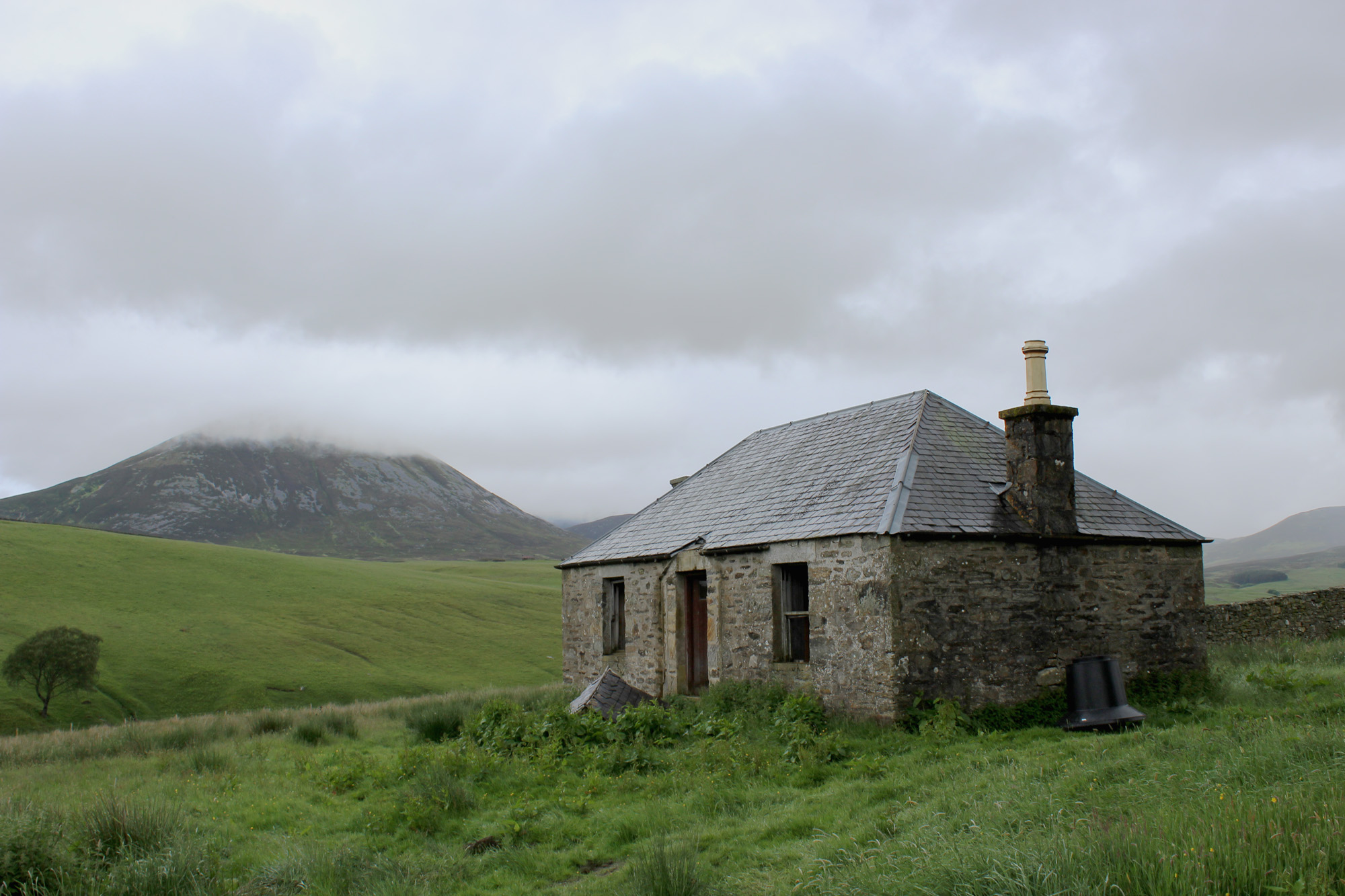
Ruined townships and abandoned settlements are ingrained upon the Highland landscape, as much a part of the backdrop as mountains, moors, lochs and rivers. While some have been erased by the passage of time, ghostly reminders of others linger on.
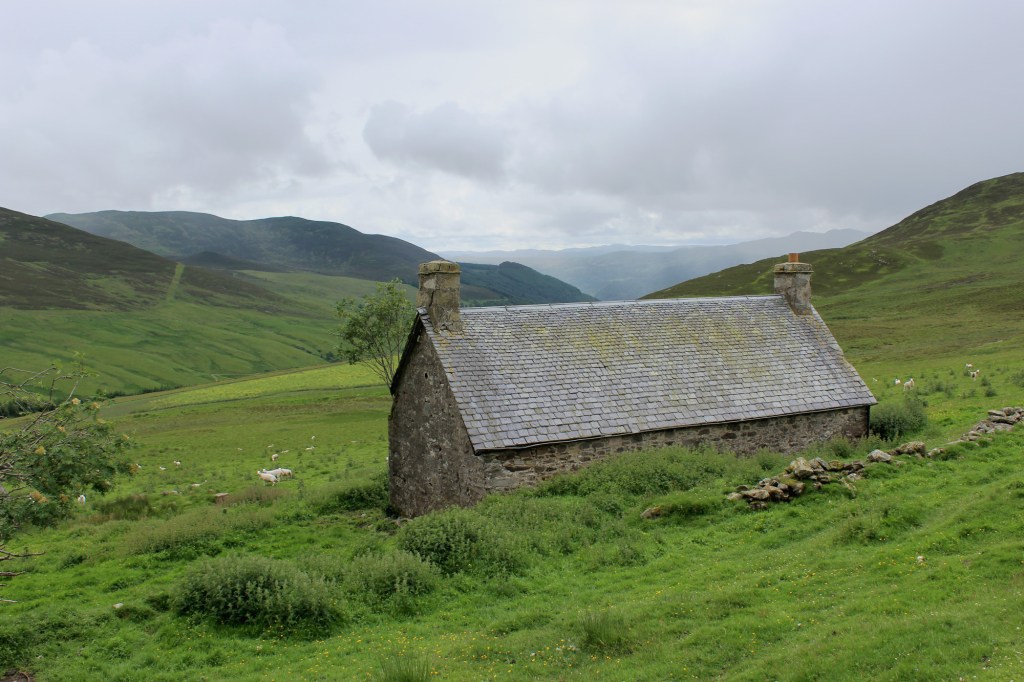
Above Killiecrankie, Glen Girnaig is dotted with evidence of human habitation, from ancient hut circles on the slopes of Meall an Daimh to the more recent derelict cottages below Meall Mor. Now, however, the place is eerily quiet, a soulless corner of the countryside where crumbling stone walls and cracked roof tiles hint at a way of life lost.
By contrast, the starting point for my hike, the National Trust for Scotland visitor centre at Killiecrankie, lay just off the busy A9 and from here I hiked up past Old Faskally House and Farm on what is a popular approach to Ben Vrackie. Soon I branched off the hill trail, wandering north over pasture above the farm at Druid towards the wooded flanks of Glen Girnaig, where the track rounds the hillside, ending just short of a spectacular waterfall.
Steep slopes above the plunge pool are easily negotiated thanks to a wooden boardwalk and steps beyond which a path accompanies the Allt Girnaig, negotiating a high fence by way of a low gate where a brief stoop is required. Upstream, a metal bridge spans the water, linking with a track on the opposite bank. The route returns down the valley from here, but those with one foot in the past will find plenty of scope for further exploration up the glen.
The Duke of Atholl, the landowner here, pioneered Highland Clearances in the 1780s, displacing families to maximize land profit and create hunting estates. Starting in Glen Tilt, he converted inhabited, productive land into sheep farms and deer forests, felling long-established communities on his 200,000-acre estate. Glen Girnaig followed in the late 18th century, although some stone cottages were retained or rebuilt for shepherds.
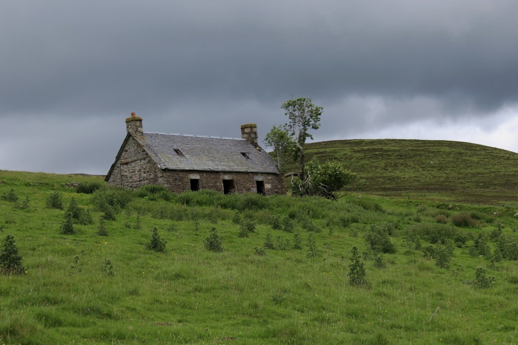
On the slopes to the west, above the treeline, cottages at Leekscriadan and Lycondlich lie derelict while, on the opposite side of the valley, there are the ruins of a farmstead at Coppagach. The track continues up the glen, crossing the Allt Girnaig and then a stream beyond, to a dilapidated cottage at Loinmarstaig, flanked by the remains of a settlement blessed with an exceptional view of Beinn a’Ghlo.
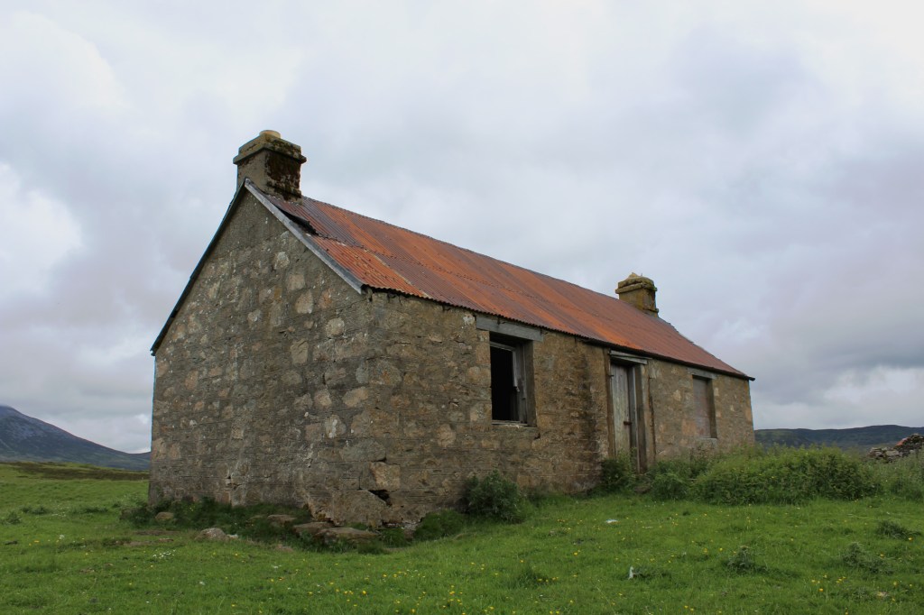
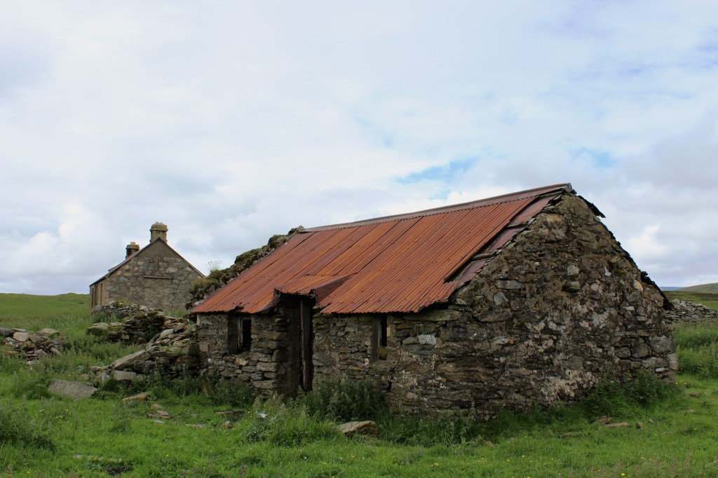
The empty cottage and outbuildings at Tomnabroilach were part of a small settlement that once contained 35 buildings, three corn drying kilns and several substantial stone enclosures. The corrugated-iron roofed cottage at Tomnabroilach was retained as a shepherd’s house after the glen was cleared.
The land here is still cultivated, but the people are long gone, a combination of forced clearances and natural depopulation. Some certainly fought and may have died at the Battle of Killiecrankie, the next stop on my itinerary. A woodland track and minor road lead down the western side of the glen, passing under the A9, to the battlefield. It was here, on July 27, 1689, that the first and most significant conflict of the initial Jacobite rebellion occurred, and while the Highlanders emerged victorious, their leader, John Graham, 1st Viscount Dundee, was among the many dead.
The path back to Killiecrankie passes a monument, erected on top of what was reputed to be a mass grave, before crossing a band of land below the A9 where the two armies converged. Initially hemmed in between fences and, in places, muddy underfoot, the way opens out briefly, crossing a grassy strip below a high wall, before being funnelled back into a band of woodland. Ascending to run parallel with the A9, the path meets a track down to Killiecrankie, the Allt Girnaig tumbling through a rocky ravine on the left.
Walking up through the village, a path guided me off the road and through the grounds of Killiecrankie Hotel before leading down towards the River Garry and the famous Soldier’s Leap, a final reminder of more spirited times in these parts.
If you have enjoyed this article, you might like to help with a future research project or PayPal.me.


