
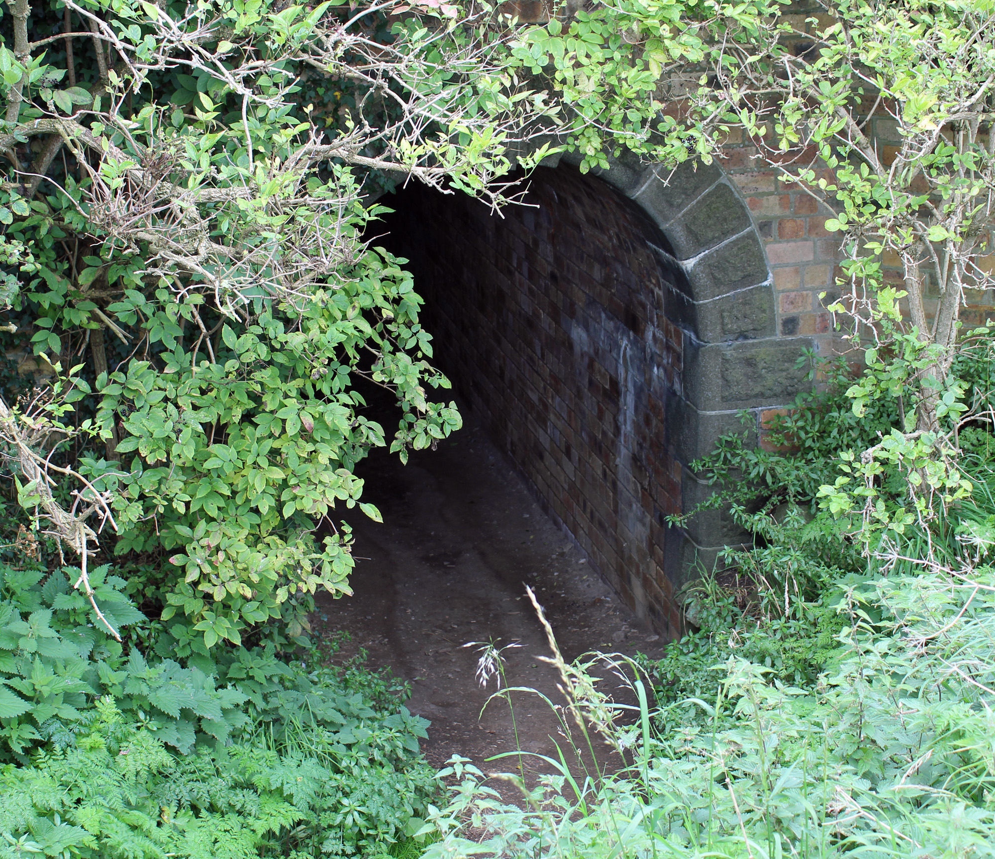
While the island of Inchcolm, in the Firth of Forth, is perhaps best known for its ancient abbey, it is also home to significant military remains dating from both the first and second world wars, including a fascinating wee tunnel.
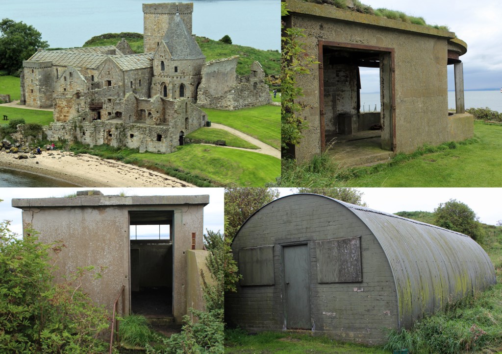
The Augustinian Abbey, which draws most visitors to the island, was founded by King Alexander I of Scotland around 1123, on the site of a much earlier Celtic settlement occupying the sheltered narrow isthmus in the centre of the island, and developed from a simple priory into an abbey in 1235.
Inchcolm, often referred to as the Iona of the East, housed a religious community long before the establishment of the monastery. During his travels, Alexander found himself storm-bound on the island and the early inhabitants – hermits with links to St Columba, the 6th century abbot of Iona, who brought Christianity of Scotland – sheltered and fed him and his men. He later returned to found his monastery.
The current structure was altered and expanded up to the 15th century when the site was abandoned after the Scottish Reformation. Over subsequent years, some of the stone work was removed, leaving the impressive ruins that stand today. The isolated location is believed to be largely responsible for the fine state of preservation of most of the buildings.
During the First World War, due to its strategically important position in the River Forth, Inchcolm found itself forming part of the middle line of the Forth Defences, a line of gun emplacements, powerful search lights and military positions designed to protect naval shipping and dockyards on the river.
An anti-submarine boom that controlled access to the Forth was strung out from the Charles Hill Battery at Braefoot Point, in Fife, to the island and continued from there across the water to Crammond Island. On March 16, 1915, the first garrison of men was deployed to the island to man 12-pound, quick firing guns and search lights. With a military base established on Inchcolm, a network of tramways was laid to link up the various structures scattered across the island. A map dated 1918 shows lines running along the island’s two main jetties, built on the beach on the north side, and a third on a pier to the east. The three converged in the centre of Inchcolm from where further lines branched east and west.
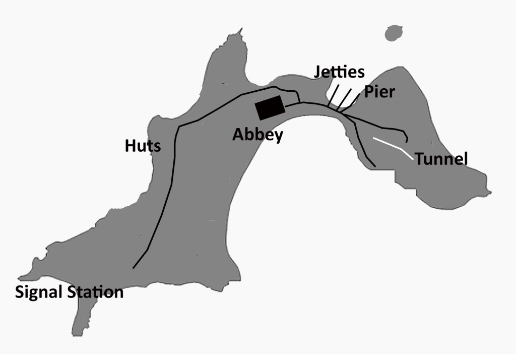
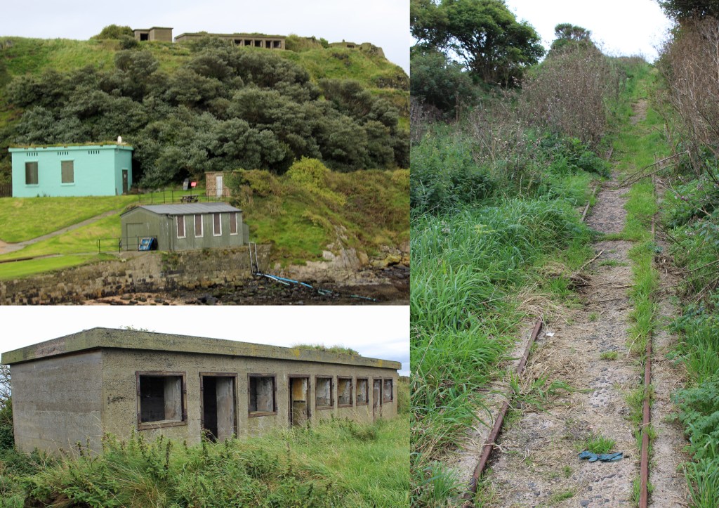
Running east, the tracks split with one line rising past the engine house to magazines and the main gun battery. The other skirted round the south side of the island, linking search light emplacements and a magazine before terminating. Heading west, the tramway passed the hospital and canteen before splitting again, the left arm approaching the historic abbey. The right branch passed the sergeants’ mess, cook house, accommodation huts and messes before progressing past the abbey to a gun emplacement, signal station and anti-aircraft gun at the western end of the island. It is most likely that the four-wheeled wagons were pushed by hand along flat sections and winched up inclines as there is no evidence to suggest either locos or horses were on the island.
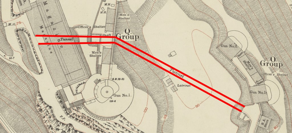
In 1916/17, the guns of Inchcolm were uprated, with two powerful 12-pounders set into solid concrete emplacements. At the same time a brick-lined tunnel was dug through the hillside to link ammunition stores with the gun batteries at the eastern end of the island, providing safe passage for soldiers arming the weapons.
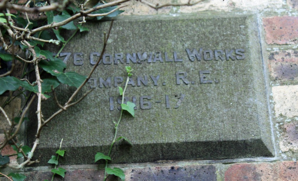
Constructed by the 576 Cornwall Works Company Royal Engineers, it was built to give speedy access, under cover, from the west side of the hill to the battery of 4-inch guns on the east side of the hill. A shaft at the point where the tunnel curves right offered access to the two larger 12-pound guns.
It remains to this day, well preserved and open for exploration. To reach the tunnel, leave the jetty and head south across the isthmus, passing below the First World War engine house (which powered the defence searchlights), now a visitor centre run by Historic Scotland, up on the left. Beyond this, bear left up a grassy footpath. Go left where this forks and continue up to the western end of the tunnel which sits at the top of concrete steps, below a line of single storey ex-military buildings – shelters for officers and men manning the two 12-pounder guns – on the hillside above.
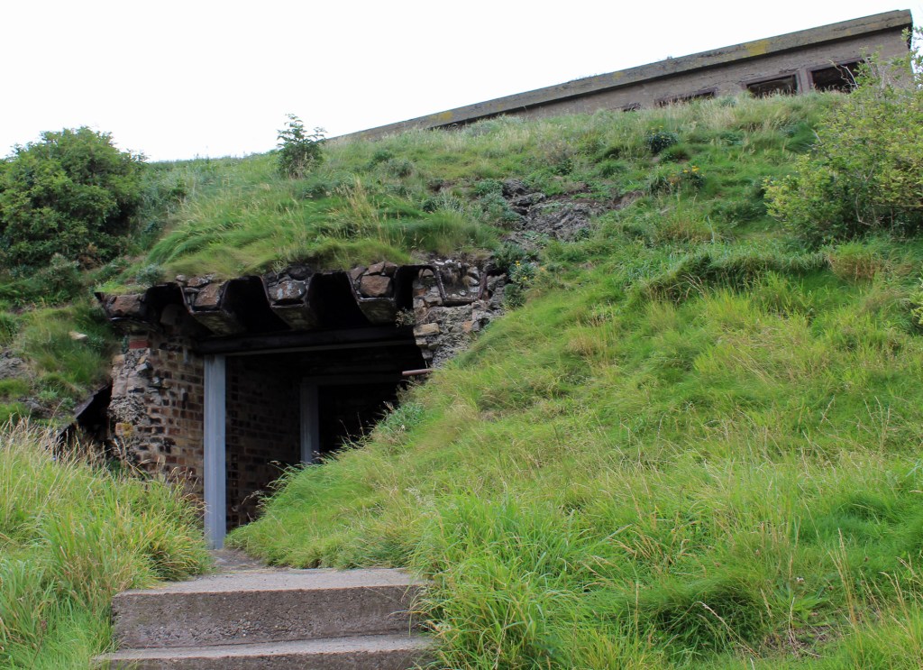
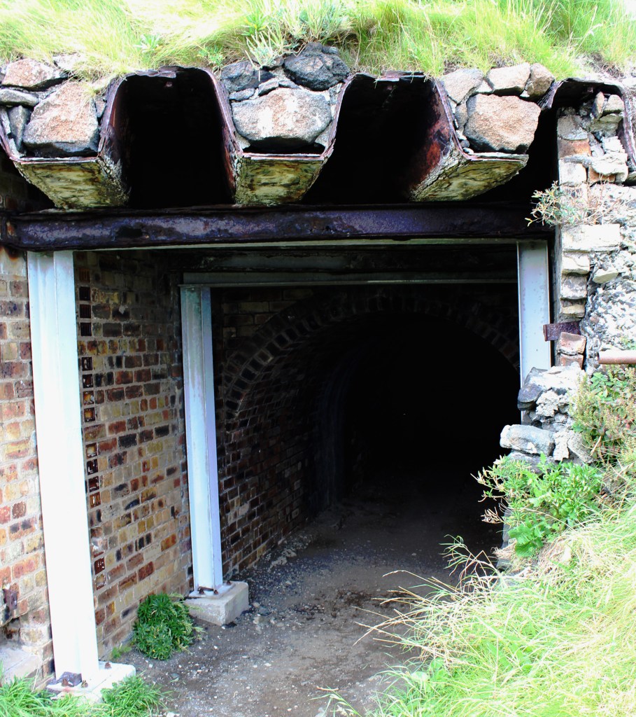
The entrance is pretty rough around the edges and it appears that this is because the magazine building has disappeared from the site at some point over the years, leaving the tunnel open and exposed. Maps suggest the tunnel entrance was integrated into this magazine. However, beyond some modern metal supports, the original arched brick tunnel cuts into the hillside, running east for about 15 metres before curving slightly right, below the larger guns, where it widens out, to run south-east for another 36 metres, rising gently from an elevation of 75 feet to one of 90 feet above sea level. At the point where the tunnel kinks right, a five-metre shaft connected it to the two 12-pounder guns above.
The tunnel, which is 2.3 metres high by 2.5 metres wide and is lined with brick throughout – emerges at the site of the 4-inch gun battery, where the eastern portal, unlike the rough western one, is of faced stone. Set into the wall above is a small square plaque left by the Royal Engineers.
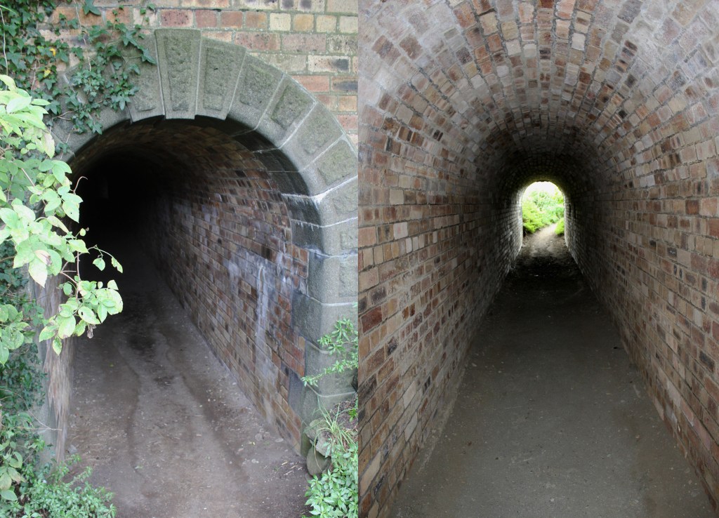
It would make sense that, with the plethora of two-inch gauge tramways already operating on the island, that one was laid in the tunnel, perhaps operated by a winch, to aid the movement of munitions. However, no evidence remains of this, other than some occasional anecdotal references.
After the First World War, in 1930, the Inchcolm station and its equipment was dismantled: the 6-inch guns were sent to Inchkeithing (possibly for scrap), the 4-inch guns were returned to depot and the 4.7-inch guns were broken up for scrap. While many of the buildings on the island were demolished or dismantled, the tunnel survived.
Ahead of the Second World War, Inchcolm was re-armed in October 1939 and a new narrow gauge tramway was laid, a straight cable-hauled incline that rose from the pier via emplacements to the gun battery atop the island. Towards the top, evidence on the ground suggests a track branched left towards the guns and stores lying to the east of the main battery.
Two 12-pounder guns were installed on the old 6-inch gun emplacements and a twin six-pounder gun was later installed, possibly on one of the old four-inch emplacements. Various lighter guns were also sited on the island.
After decades guarding the Forth and protecting the naval base at Rosyth, and a period of peacetime care and maintenance, the military vacated the island in 1956 although the tunnel and course of the later tramway remain, along with a fair amount of wartime structures, most of them now derelict or ruined.
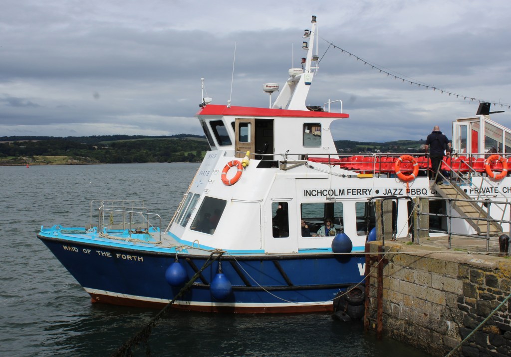
Access to the island is by seasonal passenger ferry Maid of the Forth from Hawes Pier, South Queensferry. Opt for the three hour landing trip which offers an hour and a half ashore, plenty of time to explore the island. Alternatively, Forth Boat Tours also offer landing trips to Inchcolm from South Queensferry, again with an hour and a half ashore, and the option of a guided walking tour.
If you have enjoyed this post, and others on the site, you might like to buy me a coffee which helps support the site and funds new content…


1 Comment