
Journeying across the Tay is easy now, thanks to the numerous bridges that span Scotland’s longest river. However, in days gone by, communities large and small relied on ferries to get from one side to the other.
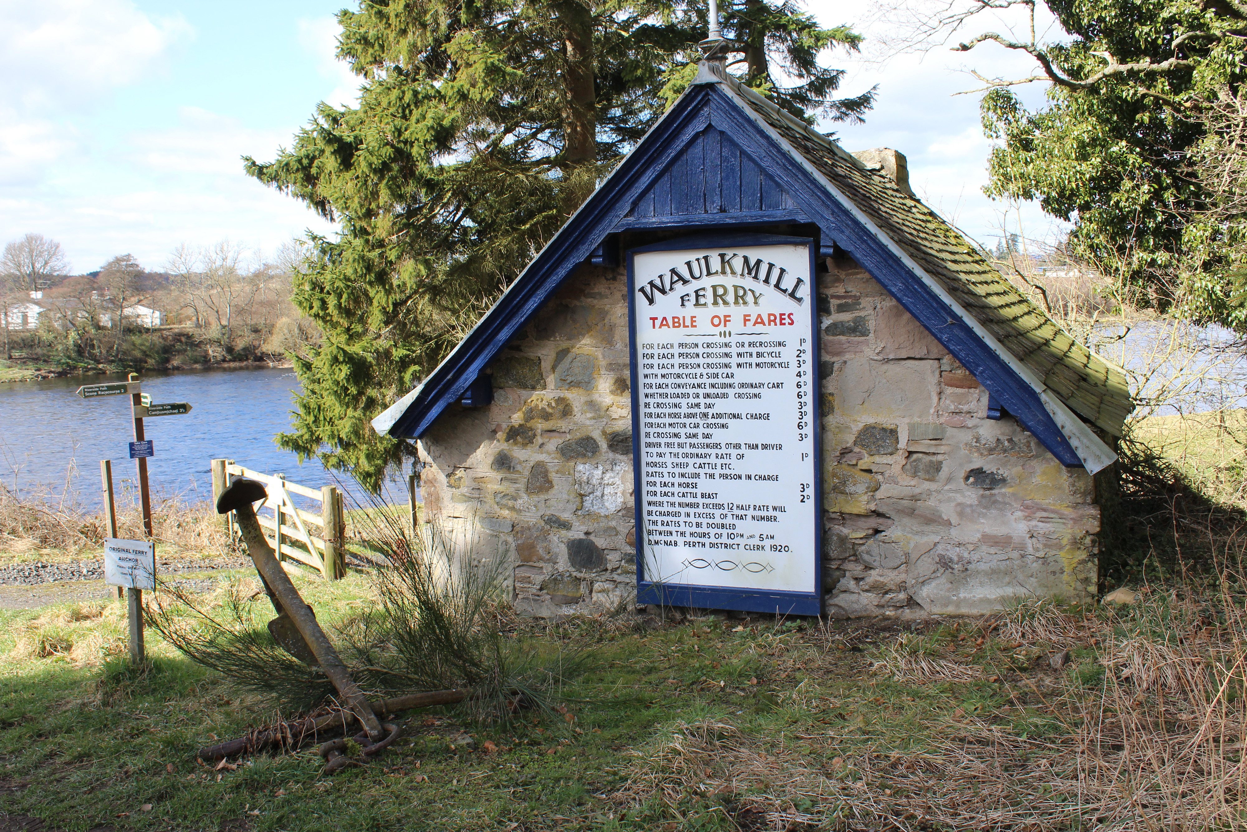
One such crossing point was at Waulkmill, north of Perth, where a boat offered a vital lifeline to riverside residents, transporting everything from people and their motor cars to cattle and sheep. The service ended in the 1960s but the old Waulkmill ferryman’s bothy, complete with its list of fares, and the boat’s anchor remain, part of a pleasant three-mile-long waterside stroll that, with the ferry gone, sticks firmly to the eastern side of the river.
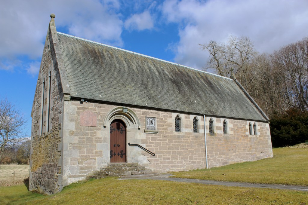
My time on the Tay began close by, at St David’s Chapel, a pretty little kirk on the edge of Stormontfield, where there is space enough for a handful of cars to park out with times of worship. The church dates from 1897 and the main door is flanked by a sundial and war memorial.
Kirk Loan led me past the village hall – formerly the local school – into Stormontfield where I turned south, a quiet strip of road flanked by tall beech trees running parallel with a mill lade to Waulkmill.
Cut in 1847, the three-mile-long channel powered a bleachworks, which dated from the 1820s and was the last still in existence in the Perth area, and later provided the community with electricity.
The lade flows into the Tay below Waulkmill where I met the river and paused briefly by the wee ferryman’s bothy, where the table of fares pinned to the wall has been preserved, revealing that it cost passengers one old penny for the voyage.
The ferry operated from the mid-19th century until 1964 when the last ferryman retired and was well used by locals travelling to Perth. From slipways on either side of the river, the original twin-hulled boat was hauled back and forth using a mechanism of chains and cogs.
The crossing may have been short but, negotiating strong currents and operating in all weathers, it was not without its challenges. In October 1891, a local newspaper reported that the ferry capsized, throwing two men and their horses and carts into the river. While the men were rescued, the horses drowned.
Today, with the river divided into fishing beats, most of the boats on the water now carry anglers eager to hook salmon and, with the season underway, there was no shortage of rod and line activity as I wandered along the bank.
Passing below the houses of Stormontfield, the path spans an offshoot of the mill lade, where a small hydro-electric power station now utilises the flow to generate renewable energy, before continuing past a fishing hut.
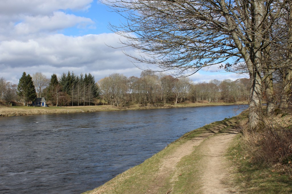
Common features of the riverbank, these bothies and lunch shelters vary from modern wooden cabins like this to older stone structures, a particularly fine example visible by the trees across the water.
Turning away from the Tay, the signed Fishponds Path skirts by fields to join a surfaced track that runs south, accompanying the gentle flow of the mill lade past the wooded policies of 19th century Hill House, to Stormontfield.
The hamlet’s newer houses are built on the site of the bleachworks – which closed after a fire in 1971 – although some of the old buildings remain, including the former beetling mill, which straddles an offshoot of the lade.
If you have enjoyed this article, you might like to PayPal.me or buy me a coffee, which helps support the site and funds new content.

 Secret Scotland