
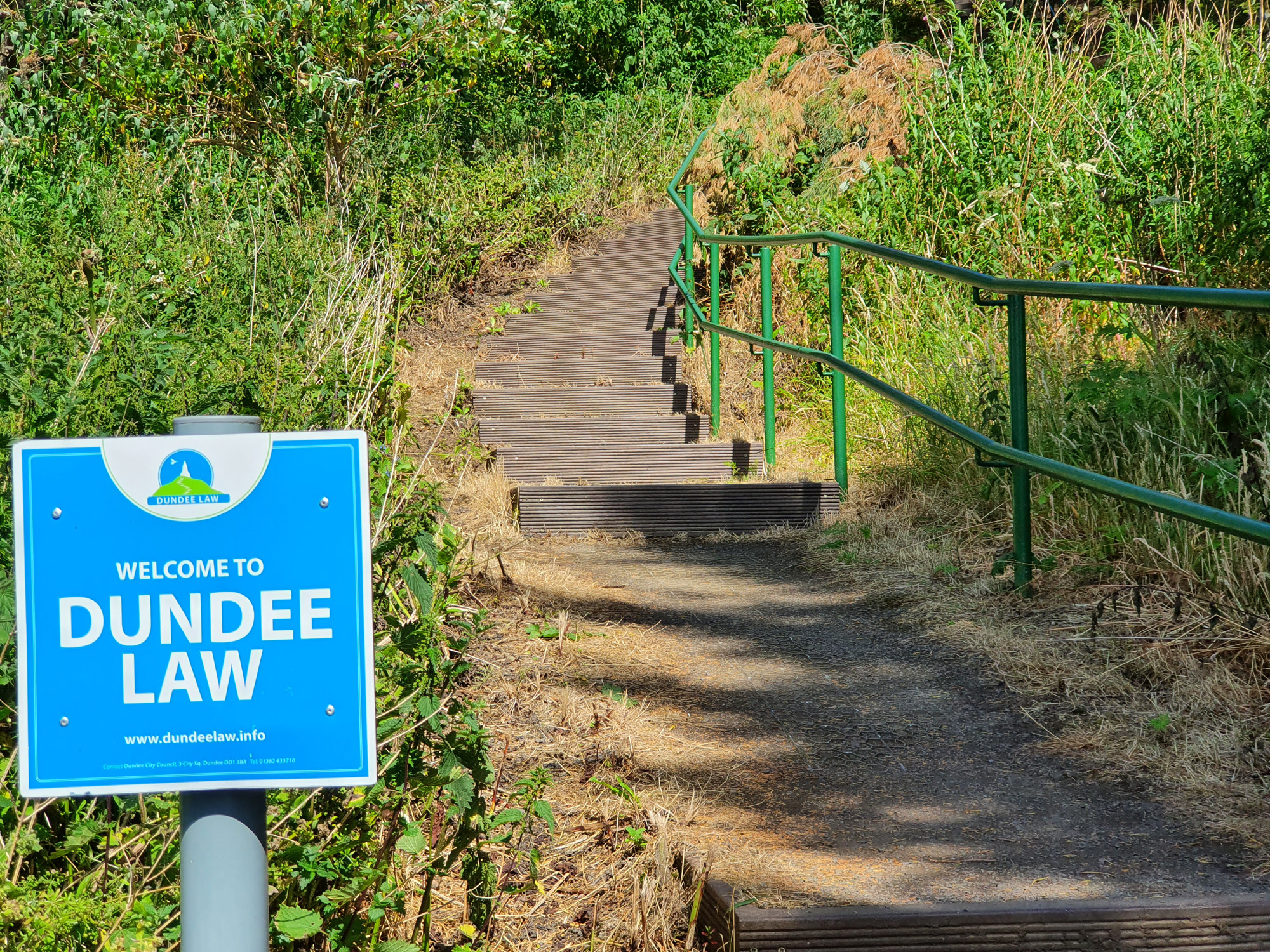
The Law Steps is one of several routes to the summit of Dundee’s landmark Law Hill. Rising over the western flank of the peak, it is not all steps as the name might suggest. While they begin and end the route, they only feature at intervals along the way, separating slopes of surfaced pathway and pavement on this 80 metre climb.
Once a well trod route, the Law Steps are less well used these days with most people now heading to the top of the Law either driving up or making the ascent on foot from the city centre, following a mile-long waymarked trail that weaves up through a network of streets, paths and steps on the hill’s southern flank.
The Law Steps can trace their origins back to the 19th century when the trail crossed open fields and, despite the encroachment of buildings on all sides over subsequent decades, the pathway survives and remains true to its original roots.
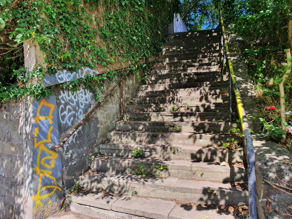
The ‘steps’ begin on Lochee Road, close to its junction with Tullidelph Road and opposite Balgay Parish Church. From metal roadside railings, a flight of stone steps climbs through a band of trees, a path hemmed in by walls bordering gardens leading up to Rankine Street. Cross with care and the route progresses up to Inverary Terrace on the other side of which it runs between walls once again, the grounds of the Convent of Our Lady of Mercy well concealed on the left.
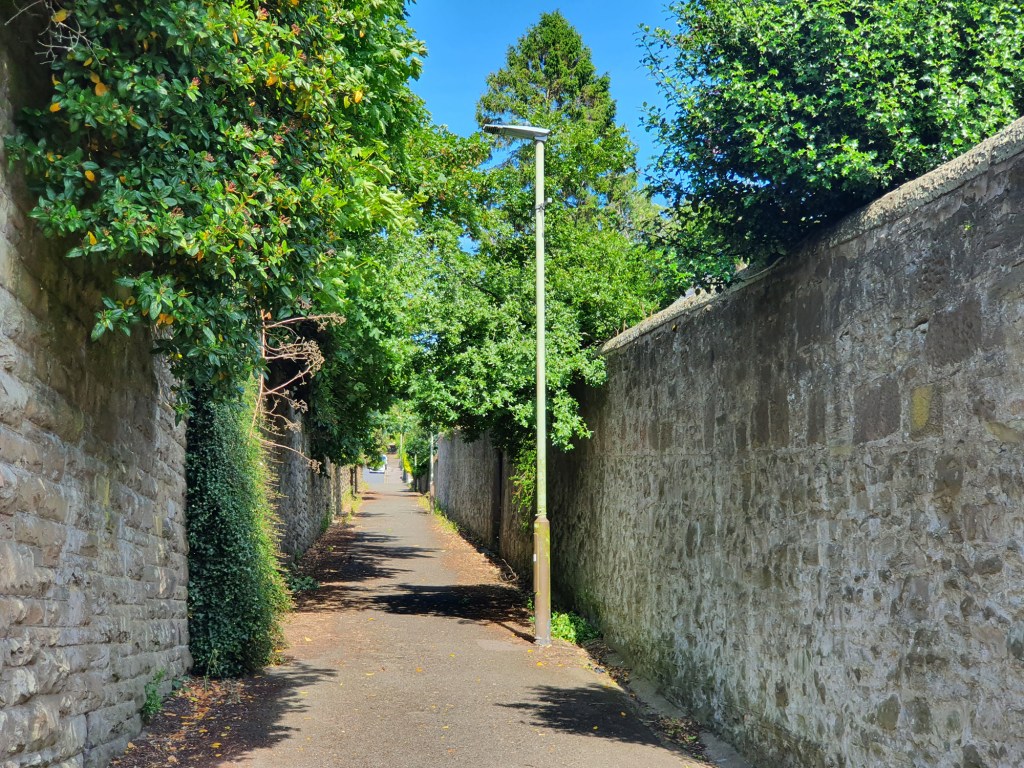
Emerging on to Lawside Road, continue ahead up the pavement of Lawside Terrace and where it curves left into Killin Avenue, steps and a pathway run straight on to reach Law Crescent. Across this broad street, now clear of houses, the path rises between allotments to enter woodland. Ignore the path branching left here and ascend steps through the trees. Cross Law Road and continue up path and steps to reach the summit (572ft/174m). Over a distance of 650 metres, the Law Steps ascend 80 metres.
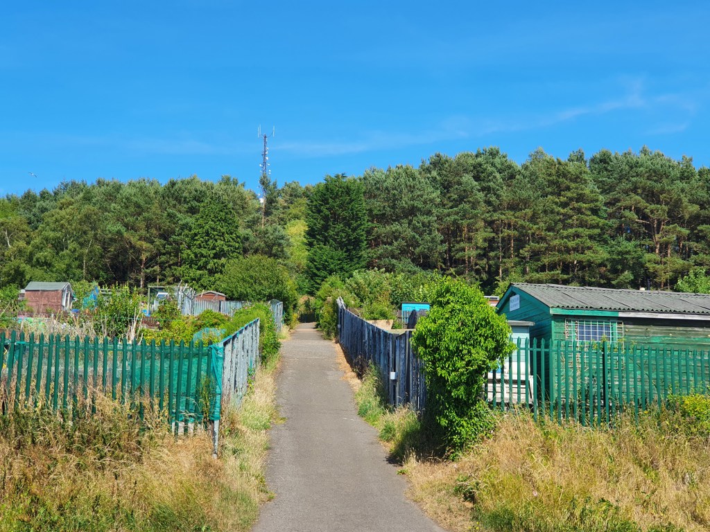
Over recent years, thanks largely to the efforts of the Dundee Law Heritage Project, over 300 steps – many of them damaged or decaying – on the upper slopes of the hill have been replaced using recycled plastic ones, creating solid, safer paths.
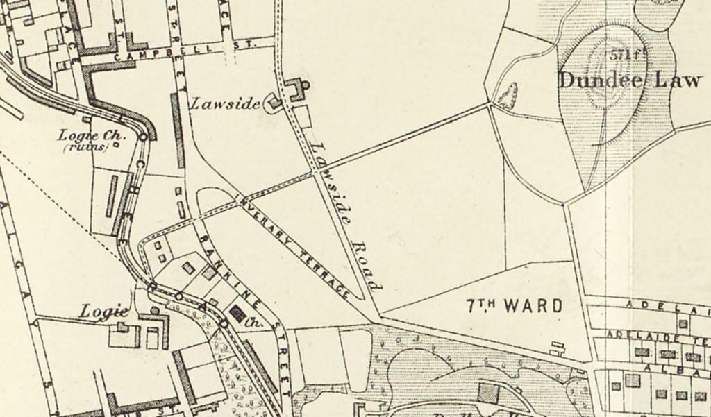
Old maps reveal that the Law Steps follow the line of a road or cart track laid to serve a quarry located on the west side of the hill, just below the summit. The Ordnance Survey map of 1862 confirms the existence of the route which climbed in a straight line from an elevation of 212 feet on Lochee Road to the quarry, at 425 feet above sea level. The lower portion tree-lined, the track ascended between open fields and was most likely the route used to extract the stone which was used in the rapidly expanding urban landscape of houses, tenement blocks and factories below.
The map describes the quarry as ‘old’, even by the mid-18th century, which suggests that both it and the track were in use earlier, although neither feature on John Wood’s map of Dundee, surveyed in 1821, or the government’s Great Reform Act Plans and Reports, of 1832.
There appear to have been at least three, possibly four, stone quarries on the upper slopes of the Law. The one on the western side may pre-date two later and larger ones on the northern flank which were in operation between the 1850s and early 1900s. All were later used as landfill sites for the city’s rubbish and now lie beneath wooded slopes planted out in the 1960s.
With the quarry gone, the 1922 Ordnance Survey map reveals that while the lower fields were by now occupied by houses, allotments and the Convent of Our Lady of Mercy, the route remained in situ, named the Lawside Steps. By 1941 it was simply called the Law Steps.
If you have enjoyed this post, and others on the site, you might like to buy me a coffee which helps supports the site and funds new content…


