
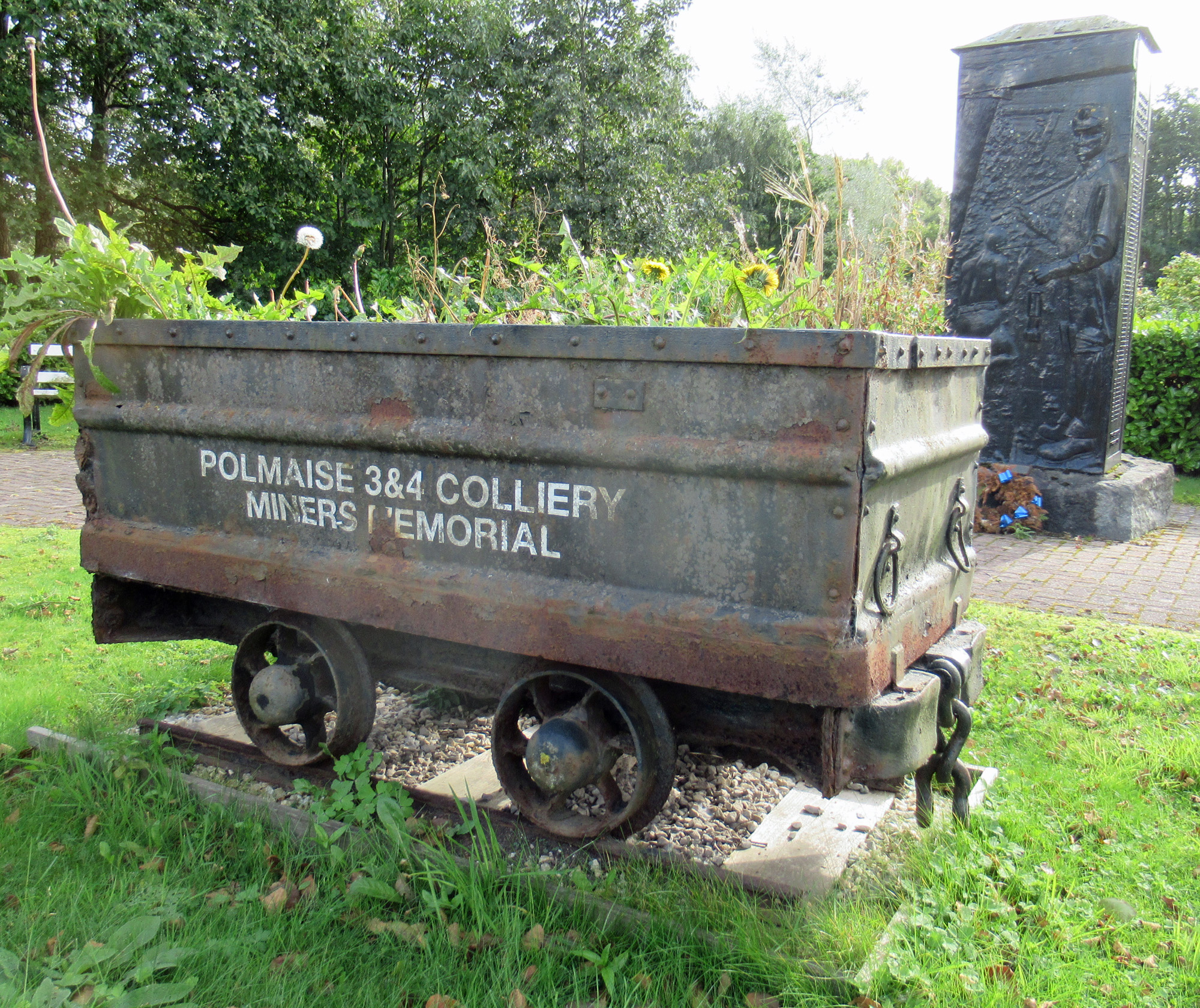
After over 80 years of coal production, Polmaise Colliery, in the village of Fallin, near Stirling, closed. The pit buildings and winding towers were demolished, leaving a landmark bing which was a popular spot with local children, who sledged down its slopes on scraps of discarded rubber.
In 1993, amid concerns over the safety of the bleak and black pile, it was lowered by a third, re-modelled and planted out with grasses, wildflowers and trees which have, over time, flourished to form wildlife-rich woodlands on the less steep slopes, a network of paths enjoyed by locals and visitors.
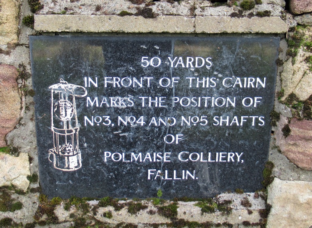
At its foot, the tiny open air Polmaise-Murray Mining Museum, sited next to a row of modern industrial units, sets the bing in context and is a good place to start exploring the area’s mineral history.
Opened in 1904 by Archibald Russell Ltd on the lands of the Murray family, Polmaise Colliery produced coal and anthracite for steam locomotives, ships and, from 1960, the former Kincardine Power Station, across the river Forth. With an average workforce of around 600 and 1100 at the peak of production, it employed most of the men in the village of Fallin, a close-knit community which grew up around the pit’s shafts and its ever expanding bing. Nationalised in 1947, Polmaise was run by the National Coal Board until its closure in 1987, with the loss of 112 jobs.
Its miners were the first in Scotland to walk out at the start of the bitter Miners’ Strike of 1984/85 and the last to return to work.
Over the years, 55 miners ranging in age from 15 to 71 died in accidents at Polmaise Colliery and their names are commemorated on a memorial, adjacent to Main Street, and within the mining museum.
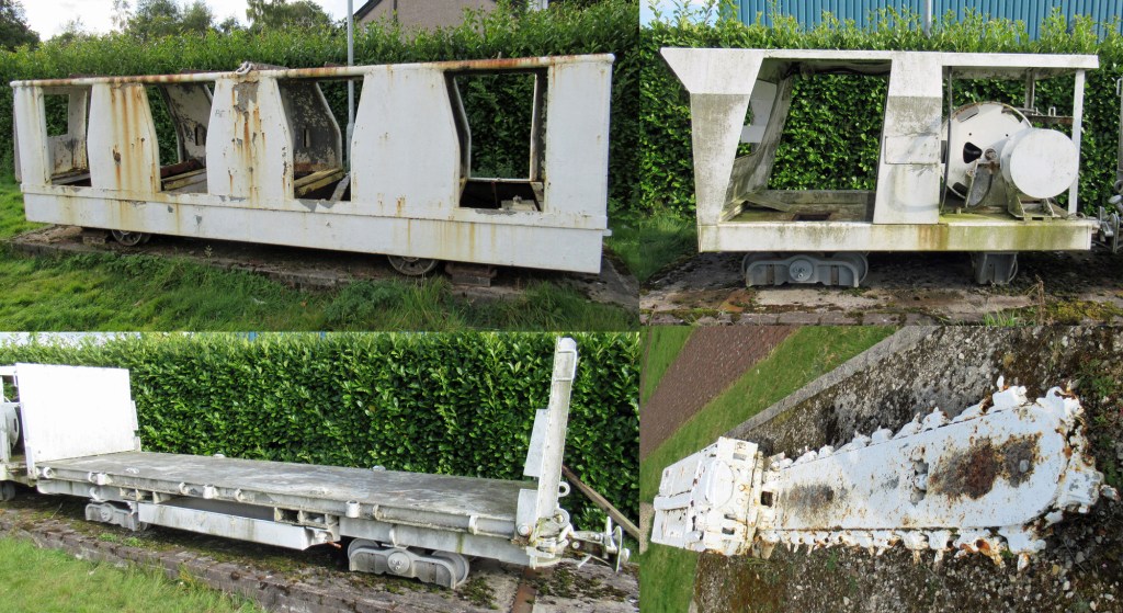
Opened in 2006, the museum is located at the former entrance to Polmaise 3 & 4 shafts and displays a range of equipment used at the mine, including a large cutting tool and trucks that conveyed miners and equipment underground. These are ringed by small memorial plaques, information boards and benches.
Aside from the museum, the bing and memorial, some old stonework and a few embedded rail tracks, little trace remains of the colliery. The museum is open all year and access is free.
For those who wish to climb what remains of the bing, a track strikes south, running between the museum and industrial units to parkland where there is a Fallin Bing information board and sign. Continue straight ahead, forking left to a cairn on the edge of the woodland pinpointing the former shafts (the ground you have just crossed).
Bear left at this point and a gravel path rises gently round the northern side of the bing to reach a signed junction. Turn right here (signed Fallin Bing View Point) and the path climbs past a bench to reach the summit, marked by a set of five metal sculptures, each of which carries information on the mine and surrounding countryside.
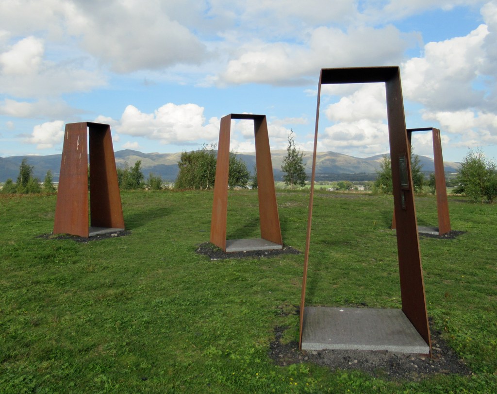
As the earlier sign suggests, it is indeed an excellent viewpoint with vistas east to Stirling Castle and the Wallace Monument, north to the Ochil Hills and south across neighbouring Wester Moss and the valley of the River Forth.
Walk on over the plateau and descend west. Fork right at the foot of the slope and follow the path back to the museum. In addition to the route over the bing, a trail loops around its base.
For walks up the coal and shale bings of Central Scotland – including Fallin – check out my book Bing Bagging, available in paperback or as an ebook from Amazon.
If you have enjoyed this post, and others on the site, you might like to buy me a coffee which helps supports the site and funds new content…

 Secret Scotland