
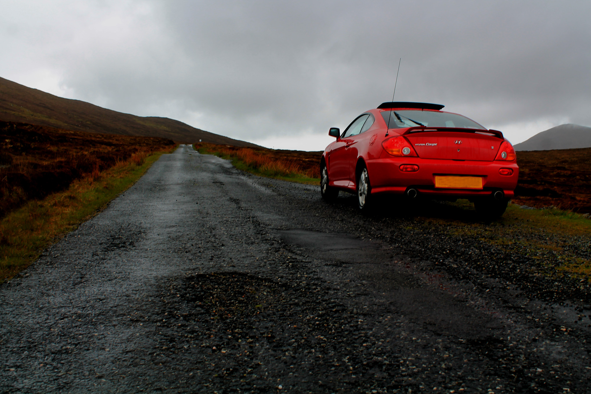
The Golden Road is 21-miles of snaking single track asphalt winding its way up (or down, dependent on which way your tackle it) the eastern coast of South Harris, in the Outer Hebrides. Built in the last years of the 19th century to serve scattered crofting and fishing communities, its name is commonly thought to refer to the huge amount of money it cost to complete.
The route – officially the C79 – links the ferry port of Tarbert, where Calmac boats arrive from the Scottish mainland, with Leverburgh, where an inter-island ferry connects South Harris with North Uist. But while the main A859 runs predominantly down the western coast of Harris, passing some fine sandy beaches, the more slender Golden Road hugs the east coast, tackling a less forgiving landscape incised with sea lochs and bays and peppered with rocky hills. The terrain is dramatic, the scenery breathtaking and the driving challenging. Single track, wandering sheep and the need to frequently pause and pull over for on-coming vehicles, means it is not a fast route but it is a great way to experience real island driving and stop off at some fascinating, off the beaten track, places along the way. Click here for advice on driving safely in the Outer Hebrides.
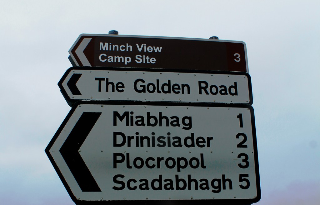
If you have just come off the ferry at Tarbert, you’ll probably find it most convenient to join the Golden Road at its northern end, which branches left off the A859 a couple of miles south of the port town, just beyond a lonely bus stop on the left and a small lochan, on the right. The Golden Road is signed at the junction, along with some of the communities along its route, including Miabhag, Drinisiader, Plocropol and Scadabhagh.
Two lanes quickly become one as the road descends across open moorland peppered with rock towards Loch Tarbert and Miabhag and then Drinisiader. Long-established, family run Harris Knitwear & Tweed occupies the Old Schoolhouse here while the Minch View Touring Park, a small campsite, is located a little further along the road.
At Plocropol, the slim strip of tarmac swings south, looping around Loch Phlocrapoil before turning inland to negotiate Loch Ghreosbhagh, passing the Harris Tweed Company. Turn left at Greosbhagh, above the head of the loch, to continue along the Golden Road (turn right to return to the A859 and Tarbert).
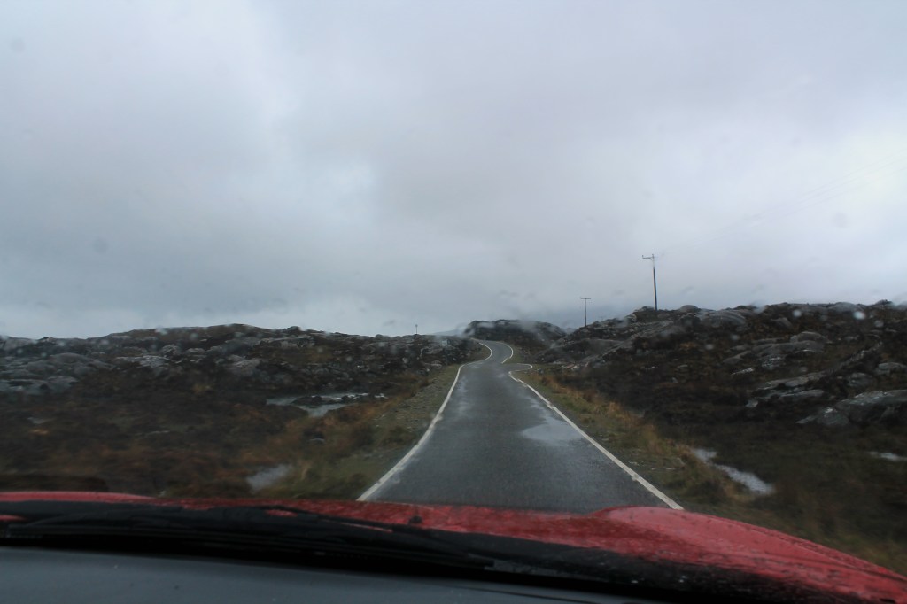
The Golden Road progresses south through a bus depot, rising and falling with the rough contours of the land before curving right at Cluer to reach Stockinish and Loch Stocanais, which calls for another detour inland, leading to a junction at Aird Mhighe, where there are a couple of art galleries – Finsbay Gallery and Mission House Studio. Go left here (signed for Roghadal/Rodel) for the last 11 miles of the Golden Road, which, after snaking around the head of Loch Stocanais to Likisto, leads south through increasingly remote and sparsely populated coastal country, skirting above numerous small sea lochs before climbing through the hills.
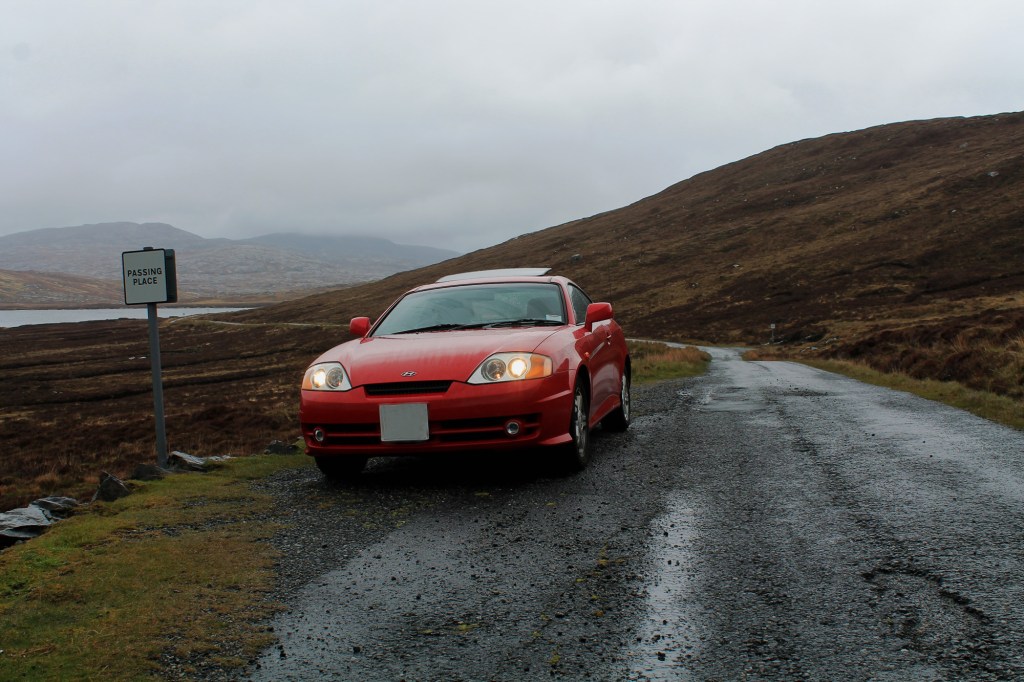
Beyond an aerial mast close to the 68 metre high summit of the route, the road begins its final descent to Rodal and journey’s end, broadening out into two lanes as it curves down towards the prominent square tower of restored St Clement’s Church. At the junction at the foot of the slope, continue straight ahead, joining the A859 to enter the scattered settlement of Rodel and the end of the Golden Road.
If you have enjoyed this post, and others on the site, you might like to buy me a coffee which helps support the site and funds new content…


