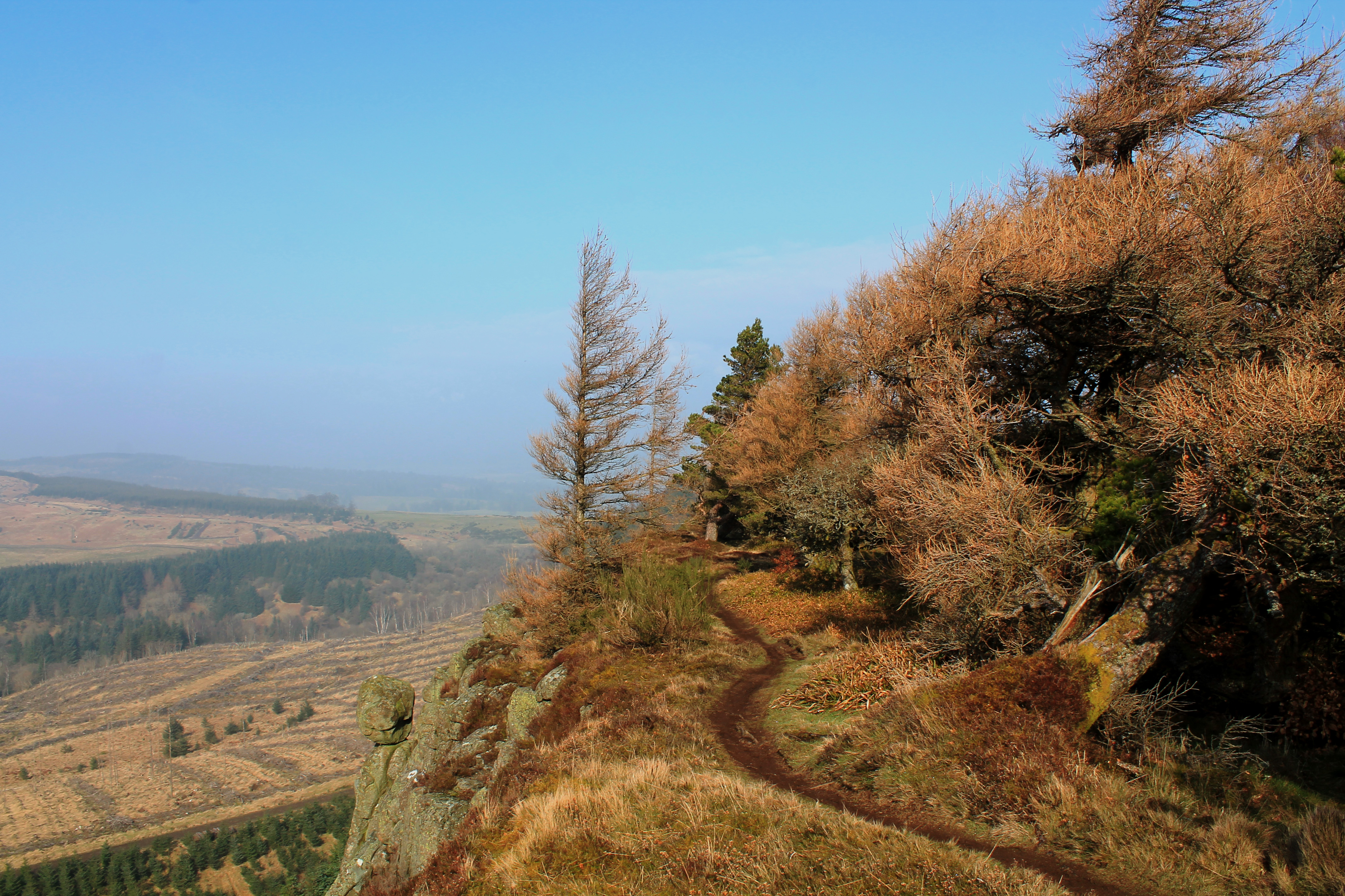
Overshadowed by a rough, rocky escarpment, North Third Reservoir is a real hidden gem, a diamond in the rough. Boasting the sort of rugged Scots Pine and heather-clad scenery you might expect to find in the Scottish Highlands, it lies closer to the central belt, amid a more refined landscape of low hills and farmland to the west of Stirling.
The escarpment – Sauchie Craigs – features prominently in this two hour walk, the path on to Lewis Hill, a cracking viewpoint overlooking the reservoir, roaming along the exposed edge. It is an airy and exhilarating highway, a real walk on the wild side. The circuit is 5.6km/3½ miles in length with 180m/600ft of ascent, steep in places.
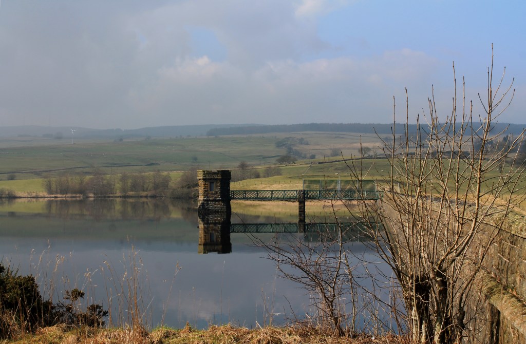
North Third Reservoir Dam
The hike begins by a bridge over the Bannock Burn, to the south of the reservoir, where a couple of small laybys either side of the crossing offer limited car parking space (Road bridge spanning Bannock Burn near North Third Reservoir – Grid ref: NS 755880. Approach Stirling from M9 junction 9 on A872, take first road on left (Pirnhall Road), then go left again, following New Line Road for 2½ miles. Turn right, signed North Third Trout Fishery).
Following a yellow waymarker arrow, I set off into beech and oak woodland, the path rising on to a craggy bluff, the first tantalising taste of bigger cliffs to come.
It was not long before I glimpsed water through the trees, the tranquil surface of the reservoir twinkling like a diamond in the early morning sunlight.
Fed by the Bannock Burn, the basin was created in 1911 and enlarged in the 1930s to supply water to the homes and businesses of Grangemouth, including the burgeoning petro-chemical industry. Until recently it was a trout fishery. Although no longer a working reservoir, it is still managed and maintained by Scottish Water and its small wooded islands offer a safe haven for wildlife such as otter and heron.
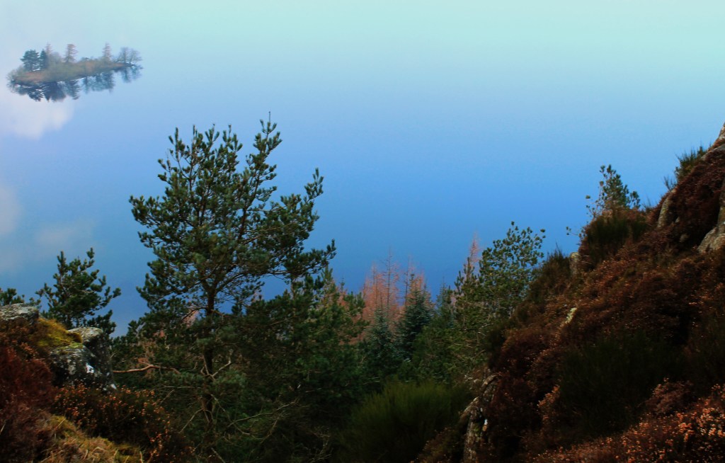
North Third Reservoir
Crossing a set of muddy tyre tracks gouged out during recent felling operations, I re-joined the path and soon began climbing, the way zigzagging up through a grassy ride separating regimented forestry on my right from the chaotic tapestry of Scots Pine and larch that clings to the crags and the precipitous boulder-strewn slopes below.
Enjoying views across the reservoir towards the Touch Hills and Gargunnock Hills beyond, the incline eased and I sauntered up to the summit of Lewis Hill where a trig point stands on the edge of the precipice.
The route continues north from here, stepping out along the top of the crags before settling for a less exposed line down the edge of the plantation for the descent into Windy Yet Glen, a leafy and surprisingly serene enclave sitting at the bottom of a set of chunky steps.
A path branches left to the reservoir at this juncture but I opted to go north, another vigorous climb elevating me back on to the scarp where the trail weaves a delightful course in and out of the trees, never straying too far from the brink.
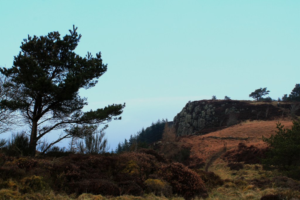
Lewis Hill
Soon the time comes to leave lofty heights behind and, beyond a path junction, the trail meets a gravel track bisecting Sauchie Craigs. This leads down through commercial forestry, passing a large, well-built cairn, to meet a path that rises on to the reservoir dam.
At the western end of the grassy embankment, a bridge spans the spillway and a path strikes south by the water.
Ducking in and out of scrubby woodland, it led me by fields shared by sheep and migratory geese to a white-washed corrugated iron boathouse and then a bridge spanning a stream.
My attention, however, was focussed squarely on the vista across the water and its islands to Sauchie Craigs and Lewis Hill. They were every bit as impressive viewed from below as from above.
Map: Ordnance Survey 1:50,000 Landranger sheet 57; Ordnance Survey 1:25,000 Explorer sheet 366
If you have enjoyed this post, and others on the site, you might like to buy me a coffee which helps support the site and funds new content… Or visit my Kofi page.